

Hiking Matanzas Pass Preserve
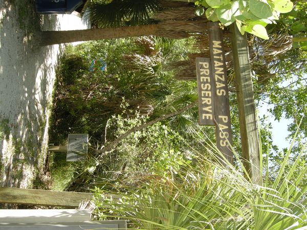
Behind the Beach Elementary School property at the end of Bay Road is an interesting hiking trail within 59.05 acres that is maintained for the protection of wildlife and natural resources by the Lee County Parks and Recreation Department.
Matanzas Pass Preserve is open from sunrise to 30 minutes past sunset, has access to the Great Calusa Blueway paddling trail and is essentially a history lesson on foot.
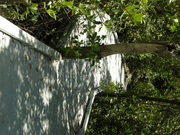
The 1.25-mile trail, which does not allow dogs, camping or bicycles, has many surfaces including hard-pressed sand, trimmed grass and boarded “bridge-like” pathways made of recycled plastic. It features cabbage palm and pine trees, maritime oaks with Spanish moss, mangroves and Oxeye daisies.
Three maps on the Blueway, Lee Parks and Estero Bay are provided on the bulletin board in the parking area before the trail’s main entrance. Six designated parking spots, including one handicap slot, and a bike rack for 4-8 bicycles are also in that area.
A historic cottage -an inside look is free to the public’s viewing on Wednesdays and Saturdays from 10 a.m. to 2 p.m.- is on site. Built in 1960 and relocated to this site in May of 2002, the cottage can be the start of a historic trip.
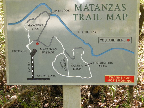
The main entrance is marked by a wood-framed sign and just inside is a line-indented map showing the looped trail system. These maps are at different intervals on the trail and feature a bright, red dot to indicate “you are here.”
At the trail’s first fork, there are two paths to select: left to Matanzas Loop or right via Matanzas Passage to Calusa Loop. The former is a shorter, boardwalk hike that reaches an Estero Bay overlook and loops back to the entrance. The latter is a longer, multi-surfaced trail that connects to the Calusa Loop and Coconut Trail but can also stretch to the same overlook on the return trip for a casual, overall hour-long hike.
The Calusa Loop via Matanzas Passage trail is a quarter mile from the main entrance. It meanders within the “meat of the preserve” and eventually borders residential housing and the Red Coconut RV Park on Donora Street. This part of the trail could be muddy and slippery, and cobwebs are common if the trail hasn’t been recently traveled. The Coconut Trail cuts through the middle of Calusa Loop.
Both trails include informational signs and plaques on the history of the preserve and Estero Island. You can learn about the change of the island’s contours or when and why native plants were added and exotic vegetation removed or how mangroves adapt to survive in salt water. There are also resting areas along the trail with wooden benches and trash cans provided.
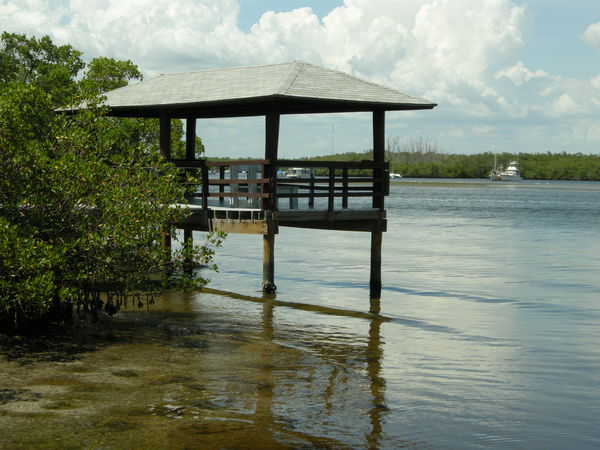
On the return trip, the Mangrove Loop is a great option to find solace by the waterfront. Either enjoy a cool breeze at the pier or take a short flight of stairs to a paddle craft landing dock to view the Blueway access.
The pier can be used as a fishing spot or a periodic rest from the trail. Its view is of the Beach’s Mooring Field, mangrove islands in the Back Bay and inhabited and uninhabited boats.
After taking a short rest, continue along the Mangrove Loop trail back to the entrance. There will be a short bridge where you can view the incoming or outgoing tide. Near the entrance there will be a small amphitheater where you can overlook the grounds of the elementary school and portion of Bay Oaks disc golf course.
For more information go to www.leeparks.org.